Tocht Fietstoerisme okres Bratislava I - Descente Danube - Bratislava - Litop - Photo

Descente Danube - Bratislava - Litop

 s0c7
s0c7

Gebruiker

© OpenStreetMap contributors
Lengte
Lengte
69 km
Max. hoogte
Max. hoogte
152 m
Positief hoogteverschil
317 m
Km-Effort
Km-Effort  
74 km
Min. hoogte
Min. hoogte
112 m
Negatief hoogteverschil
350 m
Boucle
Boucle
Neen
Datum van aanmaak :
2024-07-26 06:51:16.424
Laatste wijziging :
2024-07-26 17:46:37.002

(0 Bericht)

Fietstoerisme
Fietstoerisme
4h32
Moeilijkheid : Medium

Scan deze QR-code om de tocht te openen in de SityTrail-applicatie

Gratisgps-wandelapplicatie

Logo SityTrail SityTrail

IGN / Geografische instituten

SityTrail uit de App Store downloaden SityTrail uit Google Play downloaden

Logo SityTrail SityTrail World

De wereld gaat voor u open

SityTrail uit de App Store downloaden SityTrail uit Google Play downloaden SityTrail op Huawei AppGallery downloaden

Over ons

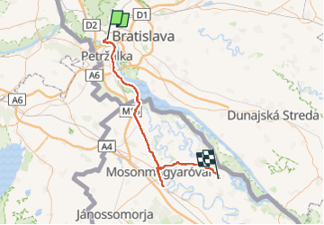
Tocht Fietstoerisme van 69 km beschikbaar op Bratislavský kraj, Bratislava, okres Bratislava I. Deze tocht wordt voorgesteld door s0c7.

Hoogteprofiel

Plaatsbepaling

Land:
Slovakia
Regio :
Bratislavský kraj
Departement/Provincie :
Bratislava
Gemeente :
okres Bratislava I
Locatie:
Bratislava - mestská časť Staré Mesto
Vertrek:(UTM)
657342 ; 5334699 (33U) N.

Wandeltochten in de omgeving

Tocht Stappen okres Bratislava I - Bratislava  - Photo
Stappen
chrochas

Stappen

Moeilijk
okres Bratislava I, Bratislavský kraj, Bratislava, Slovakia
12,9 km | 15,7 km-effort
2h 50min
Ja


Sluiten
Mijn abonnementen